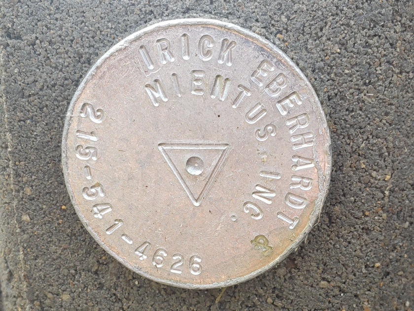
Irick Eberhardt & Mientus is a small firm based in Montgomery County Pennsylvania. Our three principal land planning consultants work closely on each and every project, providing comprehensive services and due diligence for our clients.
"They took the time to contact our local zoning officer (without us having to ask) and found out exactly what we needed to have done."
Ryan O.
Macungie, PA
"The job was done very efficiently. They weren't on time, they were early."
Danielle E.
Perkiomenville, PA
"They're very professional and responsive. They understand the need to balance the design element with the cost to build it."
John L.
Pennsylvania
What is Site Design?
There are many details to be considered when you are in the process of land development, and a skilled land planner is the person who evaluates all those specifications and drafts precise illustrations of the project at hand. These detailed designs are critical for turning a concept into a physical structure or even an entire community. This is why you want to be sure that you've teamed up with knowledgeable professionals.
Since 1996 our experienced staff has performed work on land development projects across Eastern Pennsylvania. We have built a solid reputation for excellence, attention to detail, and professionalism so our clients can rest easy knowing their projects are in the best hands. No matter if you are simply making improvements to your existing property or have a complex subdivision to plan, Irick Eberhardt & Mientus is always ready to assist with your land planning needs.
Site Design Services:
Land Feasibility Studies
Subdivision Design
Land Development Plans
Site Analysis
Plot Plans for Buildings, Swimming Pools, Patios, and More!
Where do Professional Engineers work?
A professional engineer, or PE is an individual licensed by a State Registration Board, who uses mathematical and physical sciences in the process of designing land use projects such as stormwater management, roadway design, and erosion & sediment control. They work in tandem with our field survey crews and land planners, and then evaluate site designs to ensure a project is in accordance with state and municipal guidelines. The advantage of a licensed PE is their ability to sign and seal engineering designs that are passed along to governing bodies for approval. You will need a professional engineer to communicate with federal, state, county, and municipal agencies that collectively review and authorize permits necessary for residential, commercial, and industrial projects alike.
Engineering Services:
Floodplain Studies
NDPES Permitting Design
Stormwater Management
Roadway Design
Sanitary Sewer Design
Erosion & Sediment Control
Regulatory Permitting
FEMA Elevation Certificate
When will I need a Land Survey?
The profession of land surveying dates back to some of the earliest large scale buildings and is considered central to land development to this day. Surveying can be used for new buildings, removing violations, alterations / additions to property and remodels, FEMA elevation certificates, certificates of occupancy support, construction stakeout and more.
When buying property or dividing land amongst beneficiaries a surveyor can give you exact details about boundaries and acreage. It is also necessary to know this information when placing additional structures like pools and fencing, as well as with large scale projects like subdivision design.
Irick Eberhardt & Mientus, Inc. will keep you a step ahead by providing multidisciplinary land use consulting services that keep your projects on schedule and within the budget allocated.
Land Surveying Services:
Boundary Survey
Construction Stakeout
Topographic Survey
ATLA / ACSM Survey
Forensic Survey
FEMA Elevation Certificate
Make an informed decision about developing your property and learn more about the land planning process with our Land Use Glossary.
Find additional information about your parcel with tax maps (by county).
Still Have Questions?
We are here to help. You can easily schedule a call with one of our land use experts by sharing a few details about your upcoming project.

